FACULTY OF EXACT AND NATURAL SCIENCES
A Scientific Basis for Georgian State Border Demarcation
According to conclusions of Georgian geographers, the state border of Georgia is depicted differently on topographic maps issued during various years of the 20th century. There is no indication of the scale that was used for the map showing official border data. The location of some geographical sites indicated in some scientific studies and on small-scale maps (including schools) also triggers uncertainty.
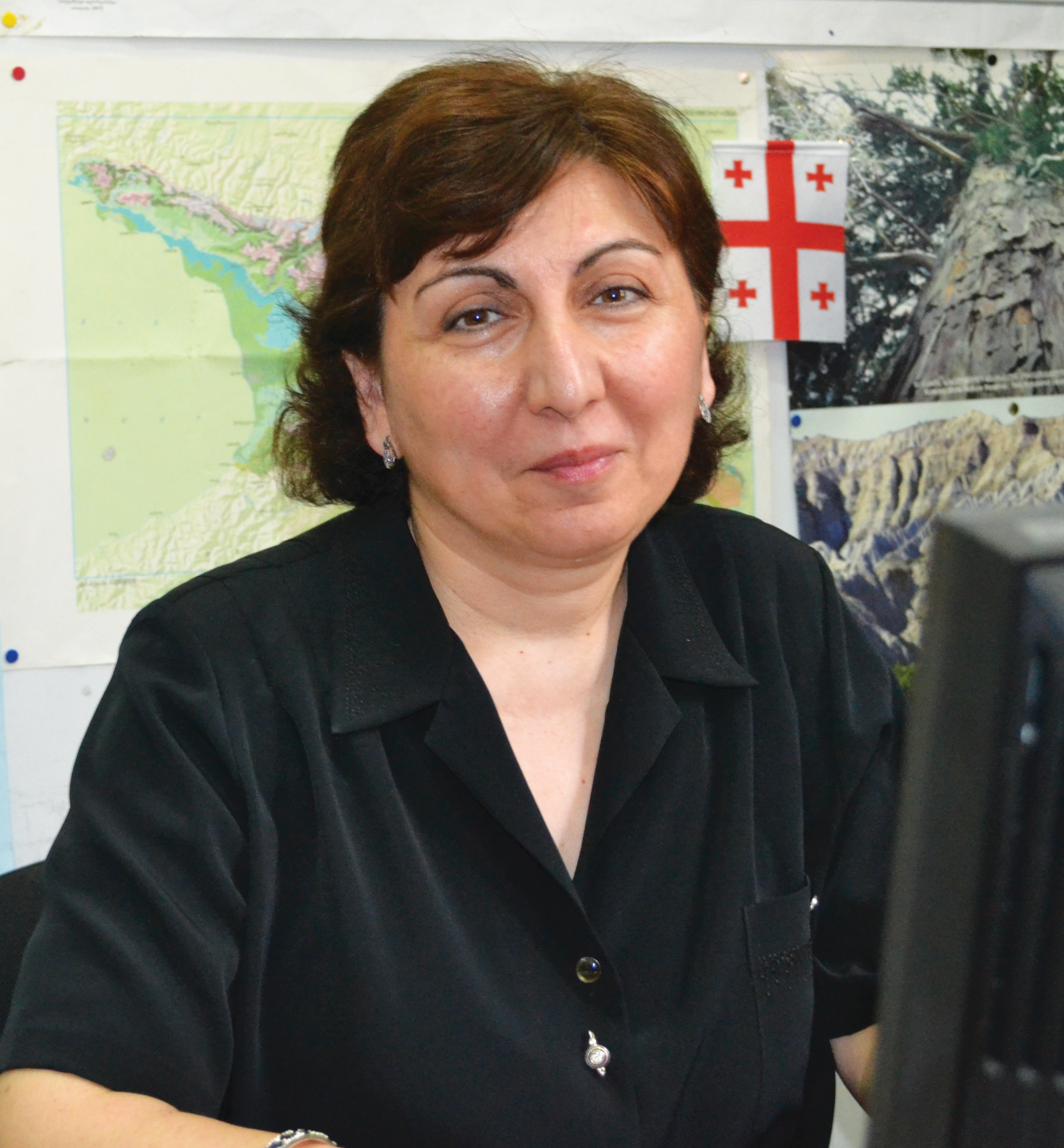
Scientific research on border demarcation is of considerable interest for Georgia since the issues of delimitation and demarcation of its borders have not been resolved and the political situation is often acute around border areas. Research on boundary definitions, entitled “Geographic information system of the Georgian state border and its cartometric and geographical analysis” was recently led by Dali Nikolaishvili, Associate Professor at the TSU Faculty of Exact and Natural Sciences and Revaz Tolordava, Associate Professor of the Geography at the Faculty of Natural Sciences and Healthcare of Sokhumi University.

Boundary changes are due to many factors. The issue of land ownership around border areas becomes especially sensitive in a region like the Caucasus with its history, ethnic diversity and geopolitical location--and today the pressing issue of state border delimitation-demarcation remains unresolved for Georgia. The Georgian state borders are depicted very differently according to the data—both in scientific and non-scientific sources, including textbooks. This creates difficulties from multiple points of view.
Most importantly, society should understand the reasons for these differences, and then unified data can be officially approved. This is why it was necessary to scientifically substantiate the border data and carry out a uniform cartometric-geographical analysis. This study revealed that several sections of the Georgian state borders have been depicted very differently on topographic maps issued over the last years, so it is essential to specify which outlines shown on different maps should be established as the present state borders. Another issue is the scientific substantiation of Georgian interior boundaries for air and land.
There are significant sections of the Georgian state borders where no delimitation and demarcation work has ever been conducted. One exception is the Turkish section of the border (266.01km), which is the former border between the USSR and Turkey, and which was clearly established during the Soviet period. The rest of Georgian borders are not so clear-cut, however. A Presidential Order dated February 4, 2008 approving the Strategy for Georgian Border Management notes that as a result of the work done by the Border Delimitation and Demarcation Commission, 65% of the border has been agreed with both Armenia and Azerbaijan, and only 40% with Russia. However, the situation is even less clear since 2008.
The Georgian geographers participating in the project developed geo-informatic mapping and a complex geographical assessment methodology to carry out their research in two directions: the establishment of Georgia’s modern borders, and the contextual study of retrospective geo-informatic cartography. For the first time, the length of the Georgian state border has now been defined on large-scale maps.
Research was based on the analysis of general geographical maps of the 19-20th centuries from the Tbilisi Cartographic Factory, the Institute of Geography and the TSU Museum. To ensure more reliability in determining the length of the Georgian state borders, the researchers made measurements on maps of various scales (1:1,000,000; 1:600,000; 1:500,000; 1:200,000; 1:100,000; 1:50,000; 1:25,000) using two methods: by traditional and by GIS technologies. The length of the Georgian state borders were defined according to topographic maps with a scale of 1:100,000 in the range of 2 mm. These maps enabled the researchers to define the length of the boundary lines with great accuracy, and measurements on GIS maps ensured even greater accuracy. Thus we can now affirm that the total length of the Georgian borders is 2114.78 km.
The authors of the research also examined the reasons for incorrect interpretations of some sections of the borders. Certain inaccuracies in demarcation, particularly on the slopes in the middle of settlements or along forest edges, were identified from maps and relevant historical documents.
For example, the southern and northern borders are a case in point. According to scientific literature, the Okiuzdagi summit (410 07’ N) had been known as the southernmost point of Georgia. However the southernmost point is actually located in the Eldari Valley, 2.15 kilometers north from where the Mingachevir Reservoir joins the Iori River (41003’20’’ N). Similarly, according to some geographical sources, the northern border of Georgia coincides with the top of the Caucasus from Mountain Shaviklde to Mt. Tinovroso. However, an analysis of the maps shows a very different picture. Mt. Tinovroso (3374m), mentioned in many sources as a point located on the borders of Georgia, Russia and Azerbaijan, is actually inside the borders of Azerbaijan!
The authors of the research determined geographical coordinates of different sections of the state border for the first time, and then compared them with real ones. For example, with the help of a topographic map and GPS technologies, the geographical coordinates of the Alazani River section of the Georgian-Azerbaijani border were determined on the ground. Delimitation had been established incorrectly when the administrative borders were defined, and official documents indicate that the border passed across the Alazani River. However the place where the boundary line should have passed was not specified, nor were the geographical coordinates determined. Because of frequent changes in the Alazani riverbed, territorial losses are quite frequent--physiographic conditions cause the riverbed to shift north towards Georgian territory. As a result, more territory moves into the practical ownership of our neighboring country.
The authors ascertained the entire area of Georgian territorial waters and, respectively, the country as well. Water area at a distance of 12 miles from the Black Sea coast falls under full jurisdiction of the Georgian state. However, the only outer limits of our territorial waters that have been marked with special boundary signs as envisaged by law are those that have been done on the basis of interstate agreements. The issues of delimitation and demarcation of this section of the state borders will definitely be raised in future, as it was for Georgian territorial waters. An internationally recognized method for measuring the 12-mile zone from uneven coastlines was used, and data ascertained that the area of Georgian territorial waters is 6,624,000 km2. Added to Georgia’s land mass, the total area of the country is thus 76,324,000 km2.
It is extremely important to establish GIS and a uniform database on Georgian state borders that enables large amounts of materials to be processed and viewed. Presently, there are very few scientific references where the solution of this issue is based on the principle of cadastral geographic information cartography, i.e. the principle through which it is possible to create a system of control and response to space-temporal changes. Moreover, it is important that such a system reflect border contours at specific times in history.
Border delimitation-demarcation is a long process, and one which should be carried out on the basis of full agreements between bordering states. This issue, so crucial for each country, should be solved by the joint efforts of geographers, cartographers, historians and other specialists. This study creates a practical basis for conducting state border delimitation and demarcation that contributes not only to defining the Georgian state borders, but also to studying problems in the Caucasus as a whole. It will also contribute to the preparation of Black Sea territorial divisions and to outlining the geographical information system of boundary areas and other key issues.
The researchers presented the results of the study at an international conference dedicated to the 70-year anniversary of Professor R. Gachechiladze (Tbilisi, June 3-5, 2013) and are now preparing a publication for a scientific journal with impact factor. Meanwhile, this research is still underway, with student participation. The major function for the approximately 40 students involved in the initiative group created at the TSU Department of Geography is to create a cartographic basis for the geographical information system of the Georgian state borders. The students are also conducting interviews with local populations along the borders using a questionnaire, to examine the demographic situation in the boundary areas, and to map cultural monuments and important geographic sites.


